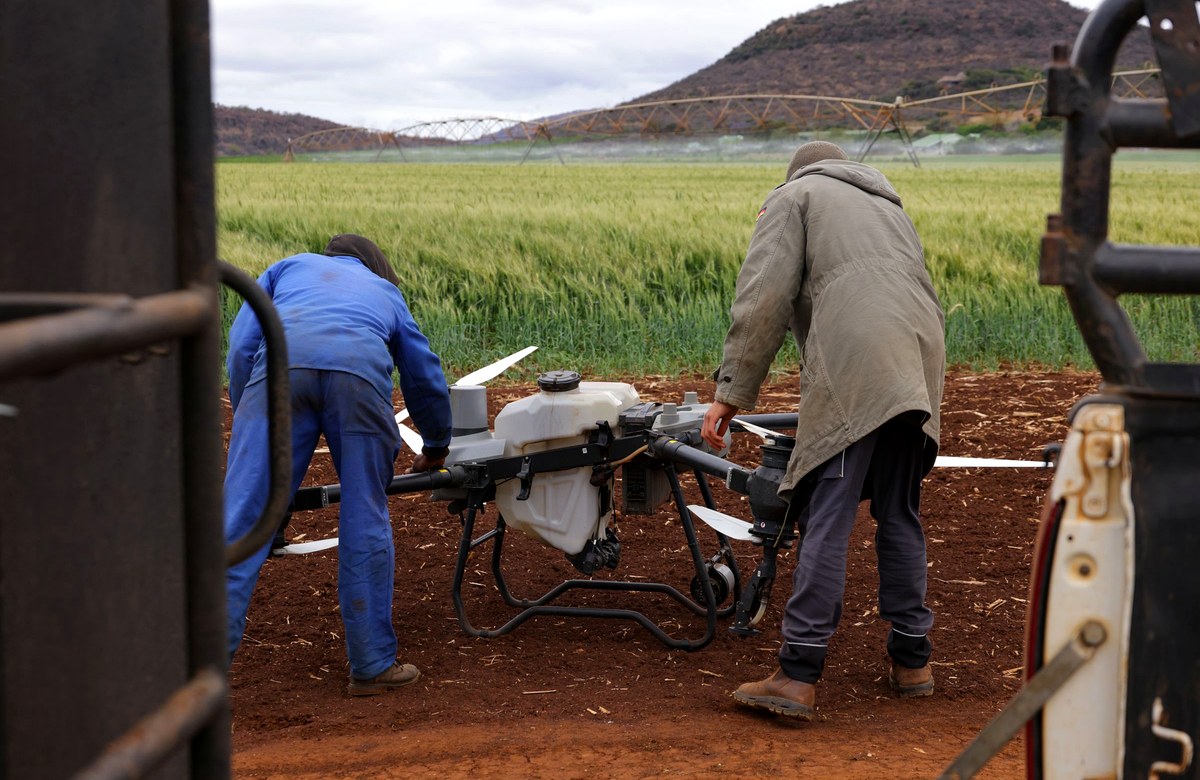
Indian farming runs on small plots, uncertain rain, and advice that rarely arrives in time. Saarthi answers crop, weather and market questions in the farmer's own language.
of India’s farm holdings are small or marginal — under 2 hectares Agriculture Census 2015–16
of India’s workforce depends on agriculture for a living Economic Survey 2024–25
of India’s net sown area is rainfed, with no assured irrigation Ministry of Agriculture & Farmers’ Welfare

Six parts of one working platform — land records, disease detection, market prices and multilingual advice, each built on real government and scientific data.
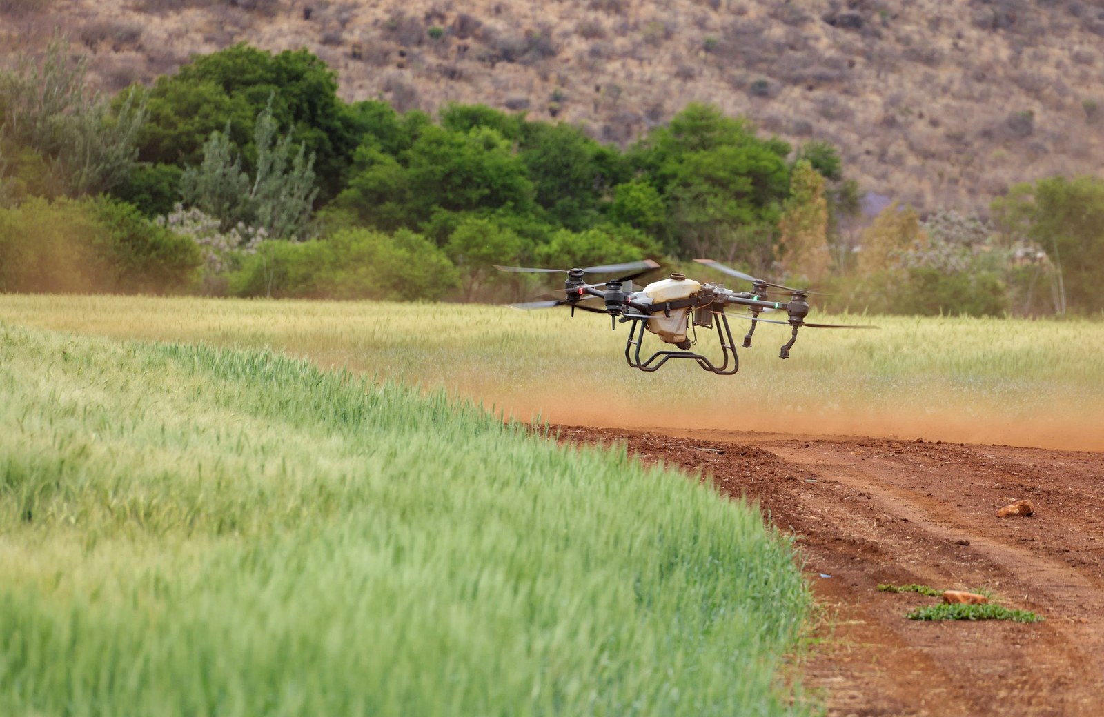
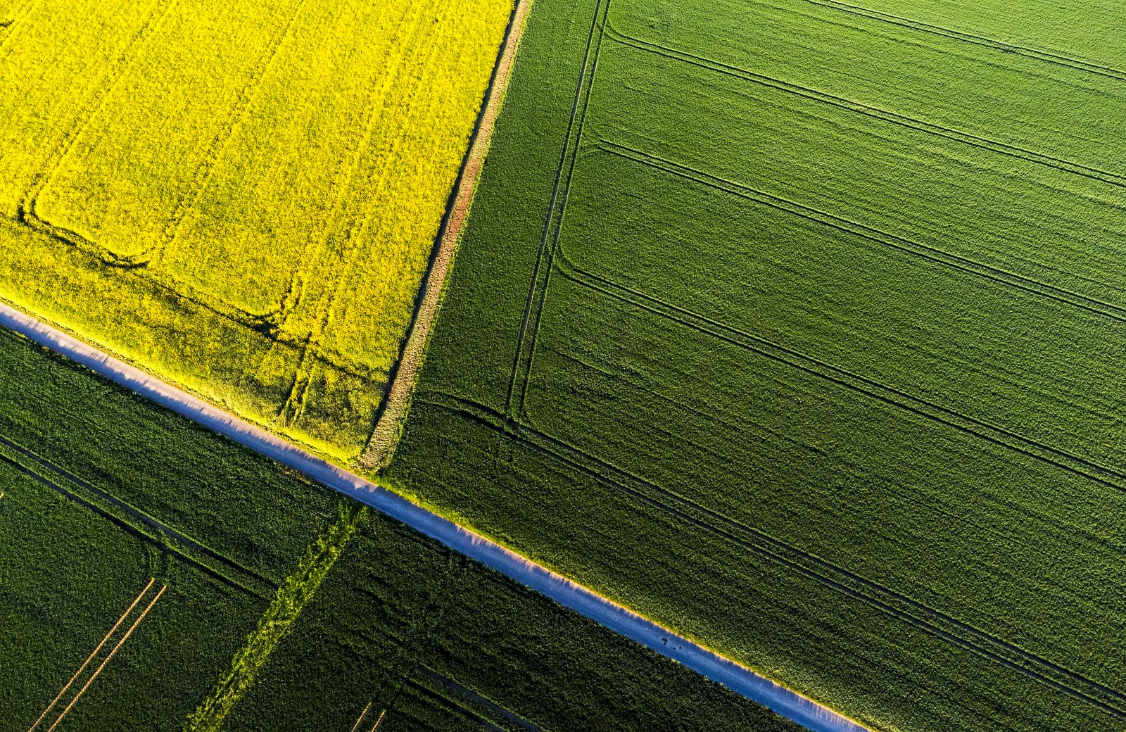

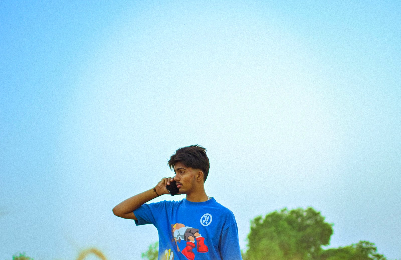
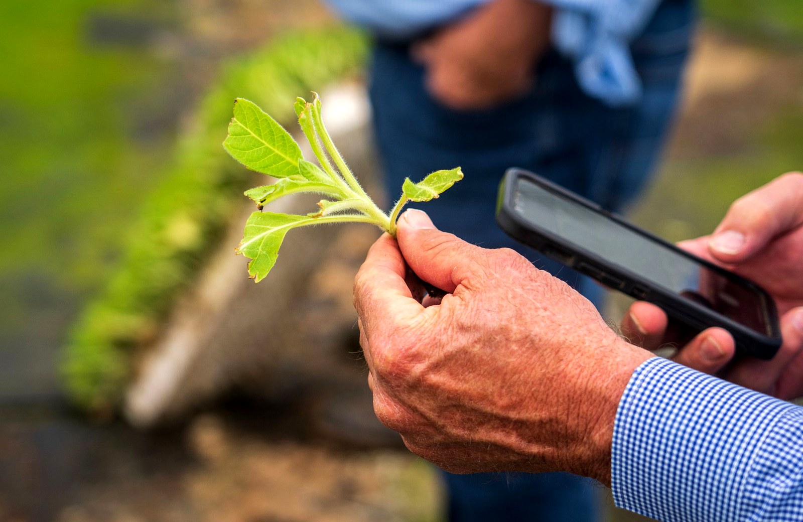
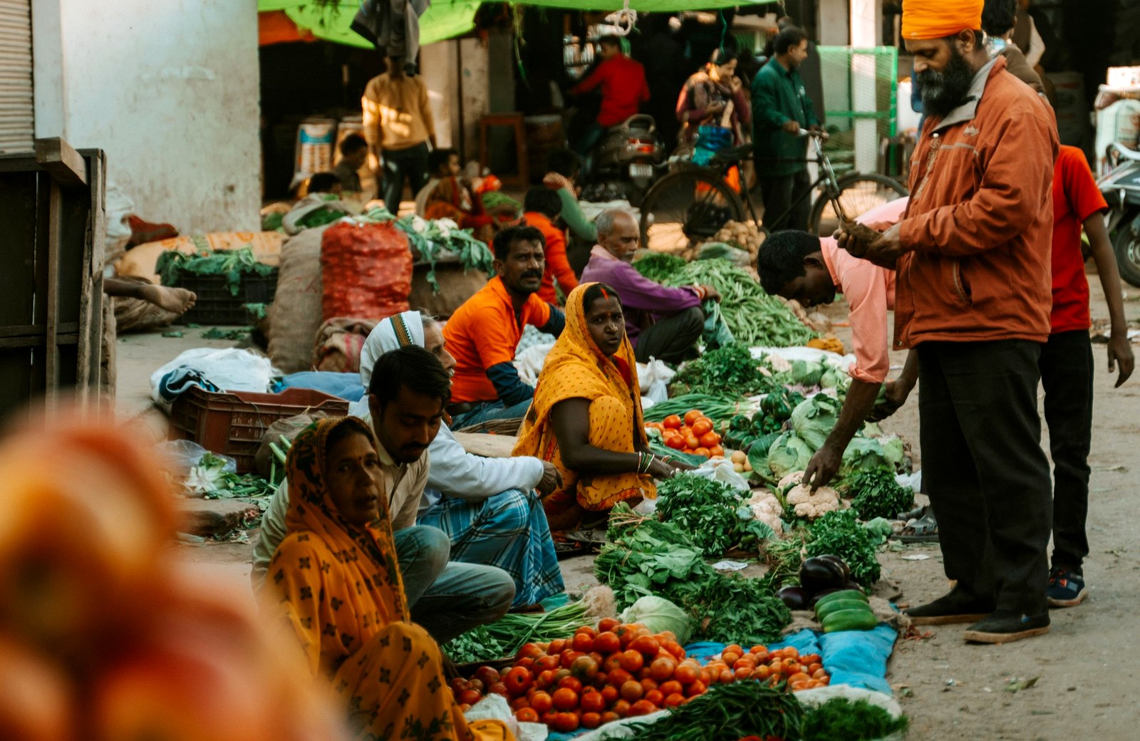
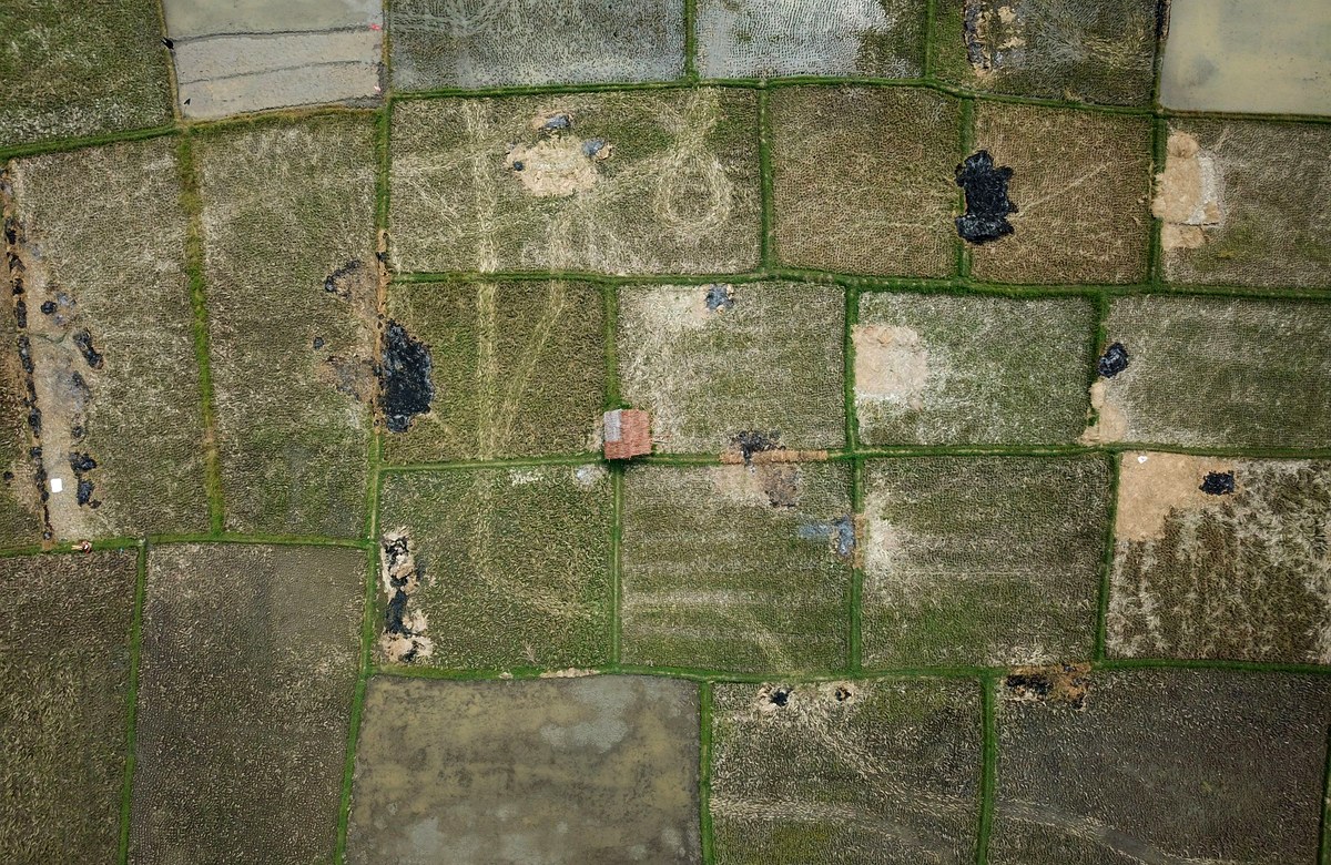
Every figure the platform shows is labelled with the survey or service it came from — ISRIC SoilGrids, ASTER, Open-Meteo, Agmarknet and OpenStreetMap.
Built on real government and scientific data. Every figure carries the survey or service it came from, and nothing is shown that the system cannot back up.
Agriculture only. The assistant declines anything outside farming, and a low-confidence scan is never presented as a diagnosis.
Languages, by text or voice
Built for farmers, not analysts

Leaf disease classes detected
EfficientNetB0, served as its own versioned API so the model can be rolled forward without touching the platform.
States live end to end

Punjab, Bihar, Chhattisgarh and Rajasthan verify a plot against Bhunaksha, the government cadastral service, down to its real khasra number.
What the system will not do matters as much as what it will. These three rules are enforced in code, not promised in copy.
Rule 01
Guidance about an unidentified field is worse than none, so the five agents will not run before a plot is verified.
Rule 02
So a verified plot says exactly that, rather than implying a survey that does not exist. Where a state portal cannot be read, the interface says so and says why.

Rule 03
The leaf scanner reports what it is unsure about. Every figure elsewhere is labelled with the survey or service it came from.
A glimpse into our creativity—exploring innovative designs, successful collaborations, and transformative digital experiences.
forever
All features as mentioned in our problem statement.
/month
Includes the Saarthi platform — and all its features.
/month
Includes the Ankur platform — and all its features.
Built on public data and open services








How land verification, the agent pipeline and the disease scanner actually behave — including where they stop.
Let’s collaborate and create something amazing! Tell me about your project—I’m all ears.

 Home
Home